Historical municipalities of Spain for a census year
Source:R/esp_get_munic_hist.R
esp_get_munic_hist.RdReturns the municipalities in force at the given census. All census maps come from the same partition of the territory, so they have no gaps or overlaps and can be aggregated (provinces, judicial districts, electoral districts...) without slivers.
Usage
esp_get_munic_hist(
  year,
  epsg = 4258,
  moveCAN = FALSE,
  include_nonmunicipal = TRUE,
  census_data = TRUE,
  cache_dir = NULL,
  update_cache = FALSE,
  verbose = FALSE
)
Arguments
- year
Census year, one of
mhist_census_years().- epsg
EPSG code of the output (default 4258, ETRS89, as in mapSpain).
- moveCAN
Position of the Canary Islands.
FALSE(default) keeps their real position.TRUEmoves them next to the Peninsula exactly asmapSpain::esp_move_can()does. A numeric vectorc(lon, lat)adds an extra displacement, also as in mapSpain. When the islands are moved, draw the box that separates them withmapSpain::esp_get_can_box(), which matches this displacement.- include_nonmunicipal
If
FALSE, drops the non-municipal territories (codes 53xxx,no_munic == 1).- census_data
If
TRUE(default), adds the census figures ofyearfrom censos (municipality name, province, households, population...). IfFALSE, returns onlycod_ine,no_municand the geometry.- cache_dir
Cache directory. If
NULL,mhist_cache_dir()is used.- update_cache
If
TRUE, downloads the geometries again.- verbose
If
TRUE, shows download messages.
Value
An sf object with one row per municipality, or NULL (with a
message) if the geometries cannot be downloaded.
Details
The geometries are downloaded from Zenodo the first time and stored in a cache
directory (see mhist_cache_dir()).
Warning
the boundaries of most historical municipalities are an approximate reconstruction. See mapSpainHist-package.
Examples
# \donttest{
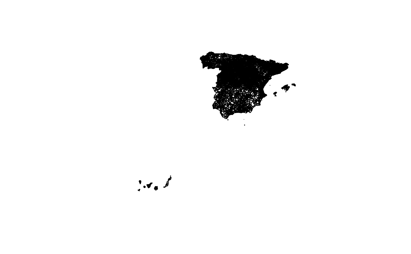
m1930 <- esp_get_munic_hist(1930, cache_dir = tempdir())
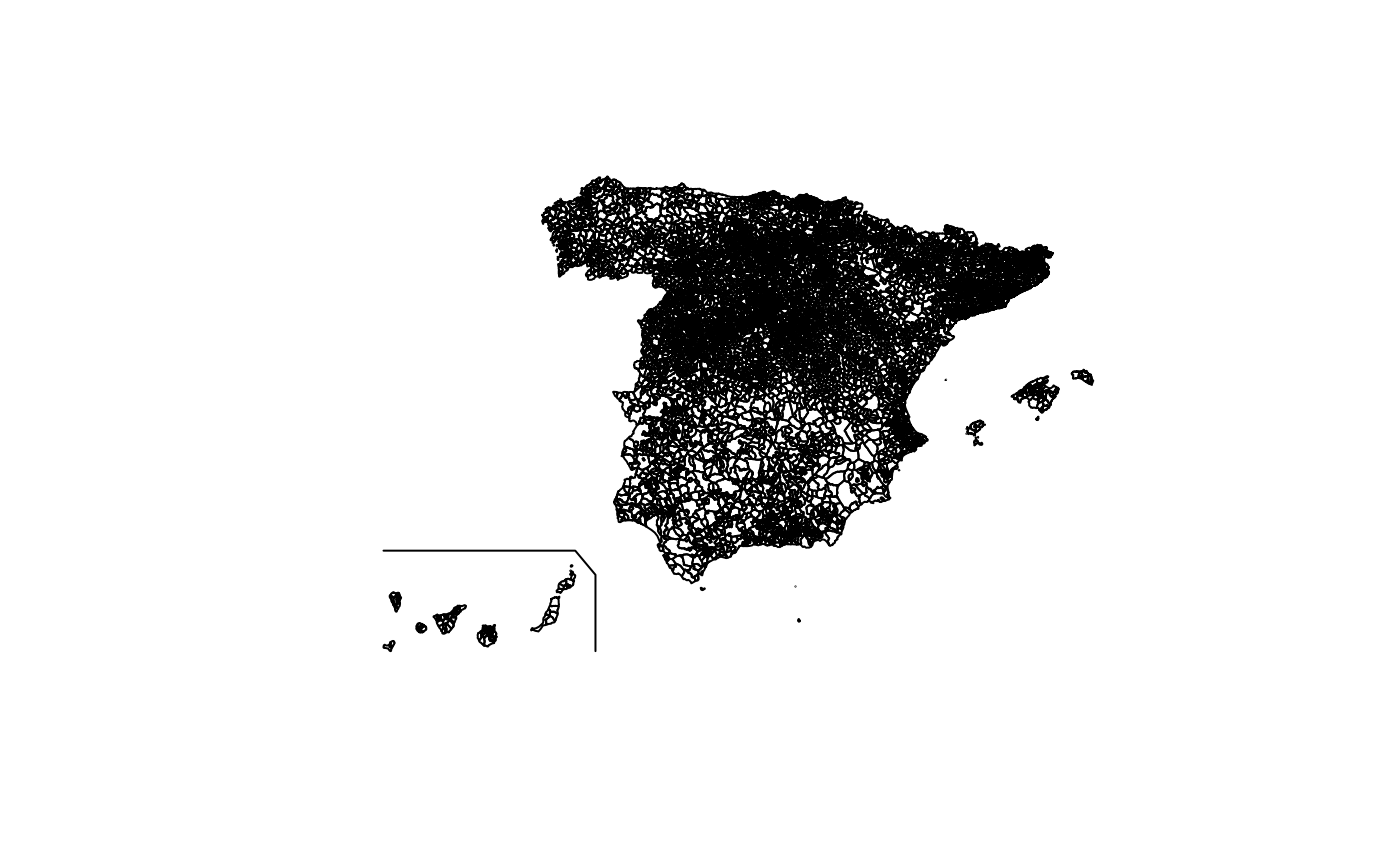
m1930_can <- esp_get_munic_hist(1930, moveCAN = TRUE, cache_dir = tempdir())
if (!is.null(m1930)) plot(sf::st_geometry(m1930))
 if (!is.null(m1930_can) && requireNamespace("mapSpain", quietly = TRUE)) {
plot(sf::st_geometry(m1930_can))
plot(sf::st_geometry(mapSpain::esp_get_can_box()), add = TRUE)
}
 # }